Brian G. Katz
Atlas of Web Maps
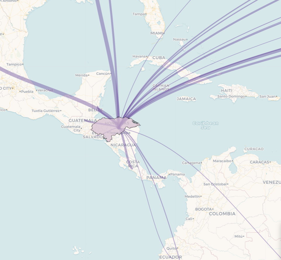
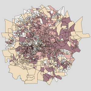
International Migration
Exploring changes in south-north migration
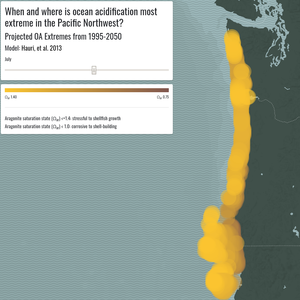
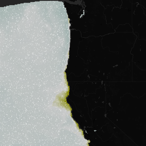
OA Mapping Tool
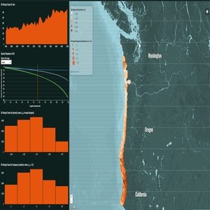
Mapping species responses to modeled ocean acidification hotspots in the Pacific Northwest
S.T.A.R. Project
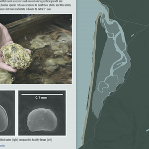
Shellfish thresholds and aquaculture resilience in Chesapeake Bay
OA Background
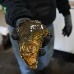
Background on shellfish-dependent livelihoods and ocean acidification in the Pacific Northwest
OA Vulnerability
Assessing vulnerability of shellfish stakeholders to ocean acidification in the Pacific Northwest
OA Adaptation
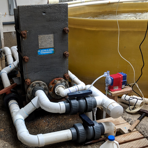
Case study of successful adaptation to ocean acidification in the Pacific Northwest
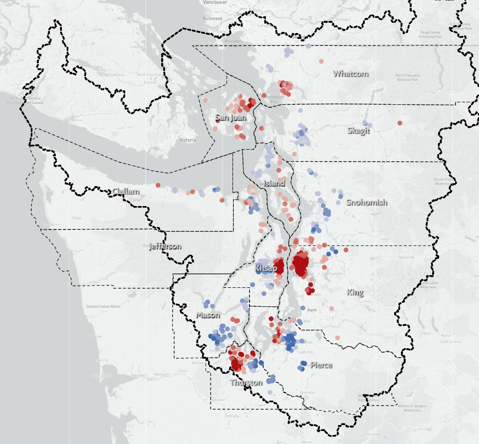
Shellfish Harvest Closures
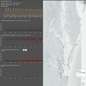
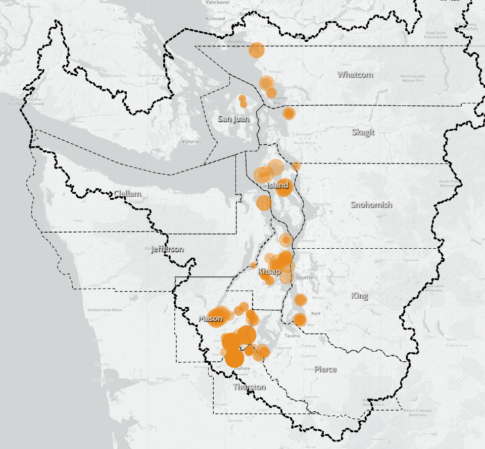
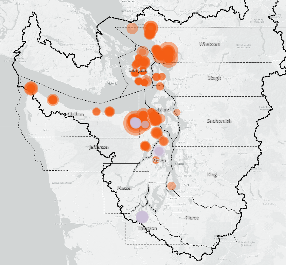
Mapping biotoxin samples and harvest frequencies in the Salish Sea
Shellfish Biotoxins
Mapping harvest closures and harvest frequencies in the Salish Sea
Human Wellbeing
Mapping subjective human wellbeing indicators in the Salish Sea
OA Exposure
Interannual OA extremes in the Pacific Northwest (Ω
ar
<=1.4)
Vector Field Animation
Vector animation of raster data
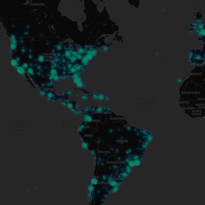
Real-time Tweet Stream
[site down]
Streaming global tweet locations on a map in near real-time
Hurricane Harvey
Mapping Houston census tracts by exposure and adaptive capacity to flooding from Harvey
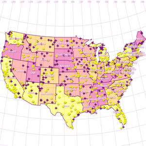
U.S. Airports
Map of airports with Albers projection
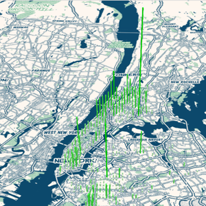
NYC
3D map of noise complaints in NYC